
Okeechobee Waterway
Across Florida, if your air draft allows.
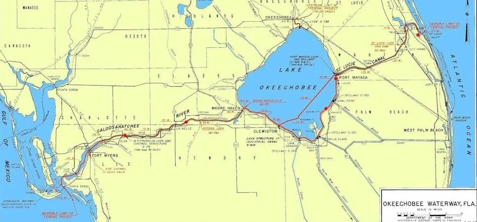
The Okeechobee Waterway is a 154-mile inland route across the lower Florida peninsula, connecting the Atlantic at Stuart to the Gulf of Mexico at Cape Coral. It turns a long trip around the Keys into a short one — for the boats that fit.
As a Florida resident, Captain James Lowe knows the state’s entire 1,300-mile coastline — the Keys, every navigable inlet, and the intracoastal network — and holds specialized expertise in this waterway in particular. If you want to move a vessel between Cape Coral on the Gulf and Stuart on the Atlantic, this is home ground.
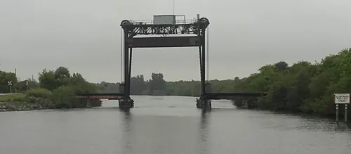
Air draft is the deciding number. Fixed bridges on the route carry vertical clearances of 54 feet or greater, but the Port Mayaca railroad lift bridge is the limiting structure at 49 feet, and the lowest cable crossing has an authorised clearance of 56 feet. A sailboat that cannot get under Port Mayaca cannot cross Florida here, and the route becomes the Keys instead.
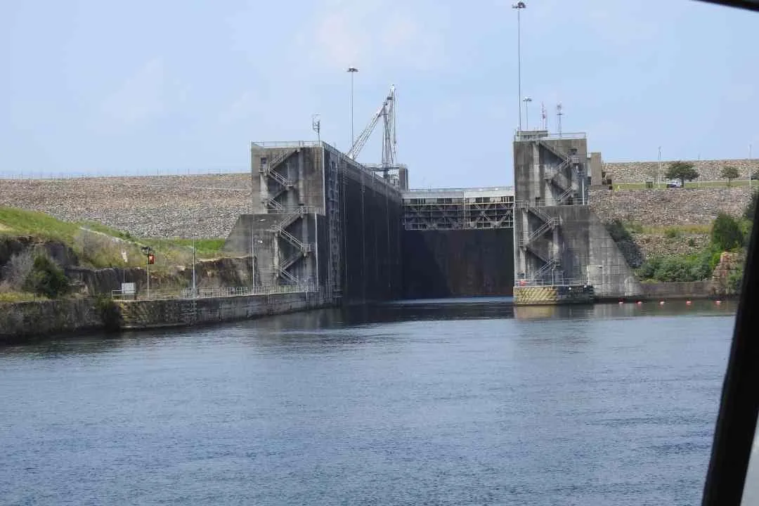
Five locks control the passage, and they keep their own hours: 7:00 AM to 4:30 PM. That, more than distance, sets how the days break up.
Other waters
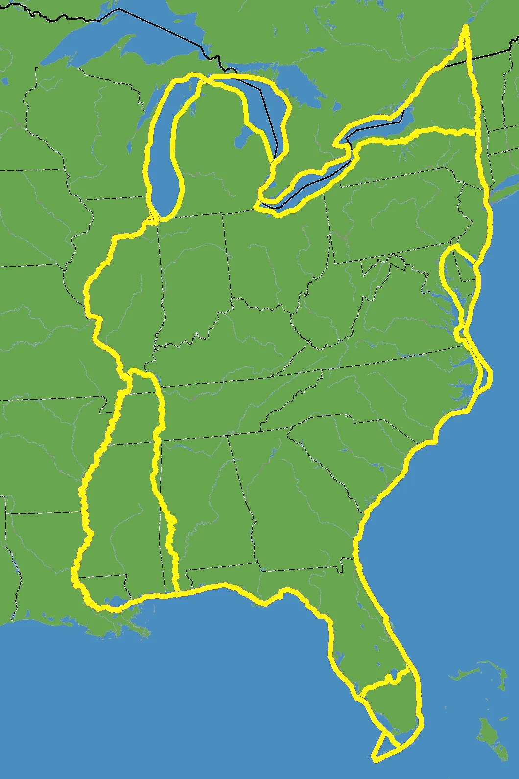
The Great Loop
A 6,000-mile circuit of America’s eastern waterways. Wherever you are on it, we can come to you.
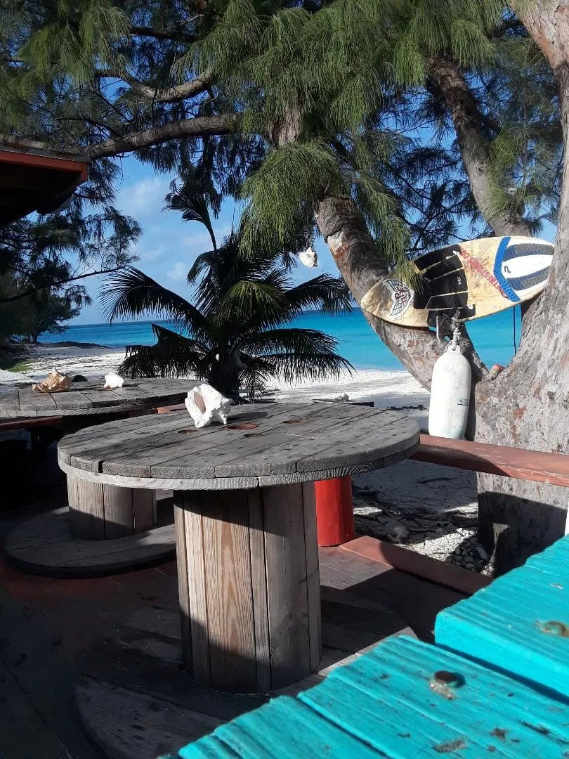
Bahamas crossings
Florida to the islands and back — the Gulf Stream, the weather window, and the customs paperwork on both ends.
Inland rivers
The Mississippi system and its tributaries — currents, tows, locks and very few fuel stops.
Start here
Moving a boat through Okeechobee Waterway?
Send the vessel details and the route. The estimate comes back with the passage already charted.
We do not share, rent or sell your information. Data is collected only to produce the estimate you asked for.