
Great Lakes and the New York canals
Lake Michigan, Lake Erie and Lake Ontario, linked south and east by the New York Canal System and the Hudson River.
The Great Loop
The Great Loop is a continuous circular boating route through the eastern United States and part of Canada, made up of natural and man-made waterways. If you are anywhere along it, the captain and crew can come to you and help you move your boat home.
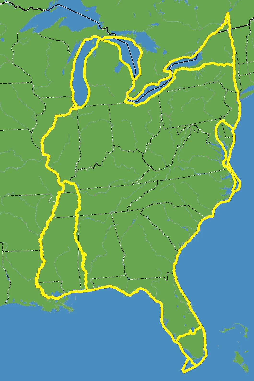
Boaters typically run the circuit counterclockwise, which keeps the difficult river currents behind them rather than on the nose. Depending on the route chosen through each section, the full loop measures somewhere between 5,200 and 6,000 miles.
Very few people run the whole thing in one season, and that is where deliveries come in. A leg gets abandoned because of weather, a season runs out, a boat is bought mid-loop, or the schedule simply stops cooperating — and the boat needs to be somewhere it is not. We pick up the leg you cannot run.
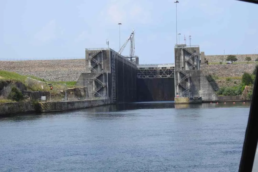
Because the route strings together so many different kinds of water, the crew and the planning change from section to section: locks and commercial traffic on the rivers, open-water passages on the Gulf and the Atlantic, bridge schedules on the Intracoastal, and canal systems with their own hours and clearances in New York.
The circuit
Lake Michigan, Lake Erie and Lake Ontario, linked south and east by the New York Canal System and the Hudson River.
The Atlantic Ocean and the Atlantic Intracoastal Waterway, from the northeast down the seaboard to Florida.
Around the peninsula, or straight across it on the Okeechobee Waterway if your air draft allows.
The Gulf of Mexico and the Gulf Intracoastal Waterway west to the Mississippi.
The Mississippi, Ohio, Tennessee, Cumberland and Illinois systems, carrying you back north to the Lakes.
Other waters
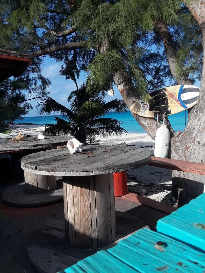
Florida to the islands and back — the Gulf Stream, the weather window, and the customs paperwork on both ends.
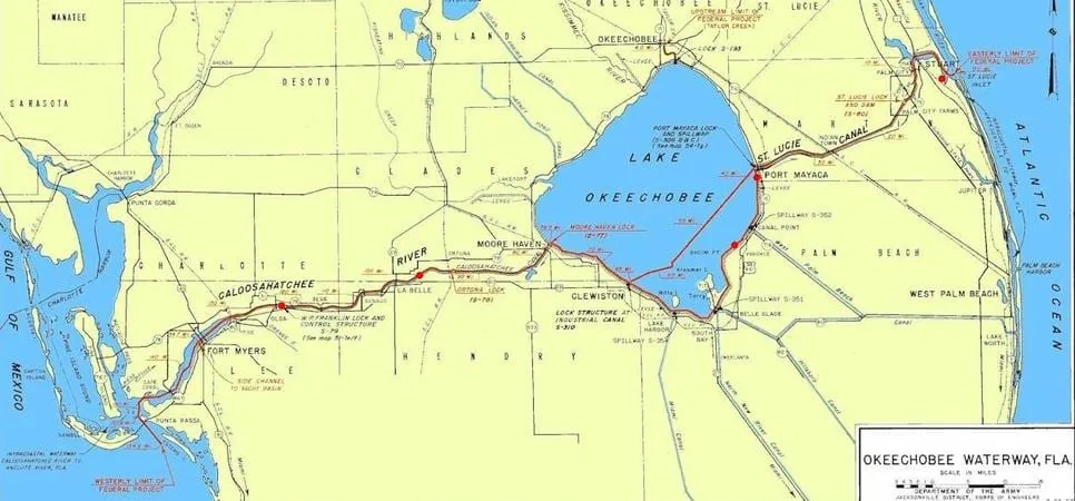
The 154-mile canal route straight across Florida — five locks, and an air draft limit that decides everything.
The Mississippi system and its tributaries — currents, tows, locks and very few fuel stops.
Start here
Send the vessel details and the route. The estimate comes back with the passage already charted.
We do not share, rent or sell your information. Data is collected only to produce the estimate you asked for.